Featured Trails
Hard
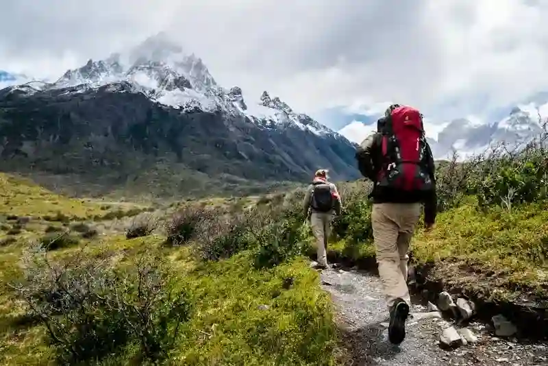
Franconia Ridge Loop
8.9 mi · +3,900 ft elevation
Moderate
Mount Moosilauke
7.4 mi · +2,500 ft elevation

Easy
Lonesome Lake Trail
3.2 mi · +1,000 ft elevation
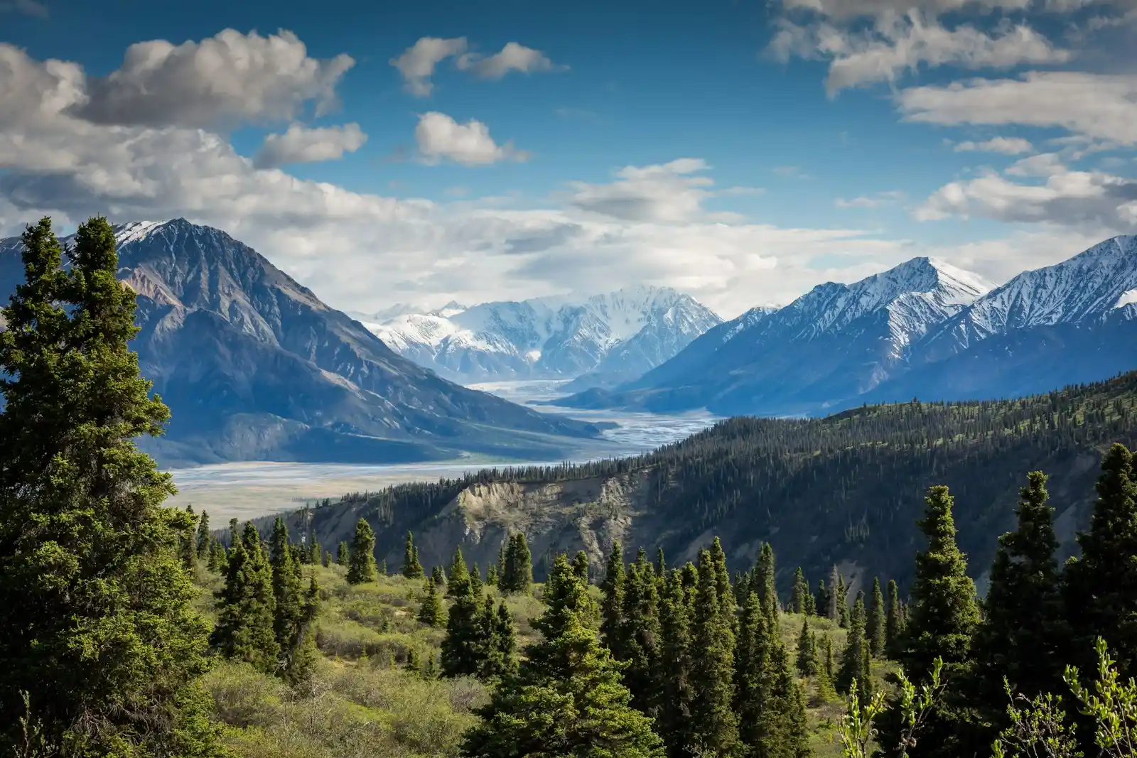
Discover 200+ trails across New Hampshire's White Mountains
8.9 mi · +3,900 ft elevation
7.4 mi · +2,500 ft elevation
3.2 mi · +1,000 ft elevation
Real-Time Data
Why Choose Us
Updated weekly by local hikers who know these mountains like home.
Real-time updates for every trailhead in the White Mountains.
Download detailed maps before you go — no signal required.
Hear from hikers who were just there — fresh beta, always.
Community
"The trail conditions feature saved our trip. We knew exactly what to expect before we even left the car."
Franconia Ridge Loop"Finally, an app that actually understands what hikers need. The offline maps are a game-changer."
Mount Washington"The community reports helped me find a hidden gem trail I never would have discovered otherwise."
Lonesome LakeJoin thousands of hikers discovering New Hampshire's most beautiful trails with live conditions, detailed maps, and community insights.